This blog entry is mostly a series of pictures taken by Mary as we drove along.


The above are pictures going through a cut in the rocks.

This is a picture is a typical down hill. I definitely have to down shift in order to keep from riding my brakes. This road like most 2 lane roads are 65 mph posted speed.


More photos during our trip through Utah.

Crossing the Colorado. This is above Lake Powell dam, and well above Hoover dam at Lake Meade.


After arriving at Torrey, UT and after dropping the trailer we had time to visit much some of Capital Reef National Park. Whereas Mesa Verde NP in Cortez, CO was about ruins of ancient people, Capital Reef NP is mostly about about rock formations.
The first place we visited was called Grand Wash. This is a major passage for water during flash floods.

The following are various photos of different rock formations we saw while walking in the Grand Wash. The grand wash is 2.1 miles long. We walked about 1/2 the way through which is about a mile, and then doubled back. We walked about 2 miles total.


After "touring" the Grand Wash, we stopped by the Petroglyphs. These are engraving on the stone walls left by some of the same people who lived in the Pueblos at Mesa Verde. They lived here between 700 CE and 1300 CE.


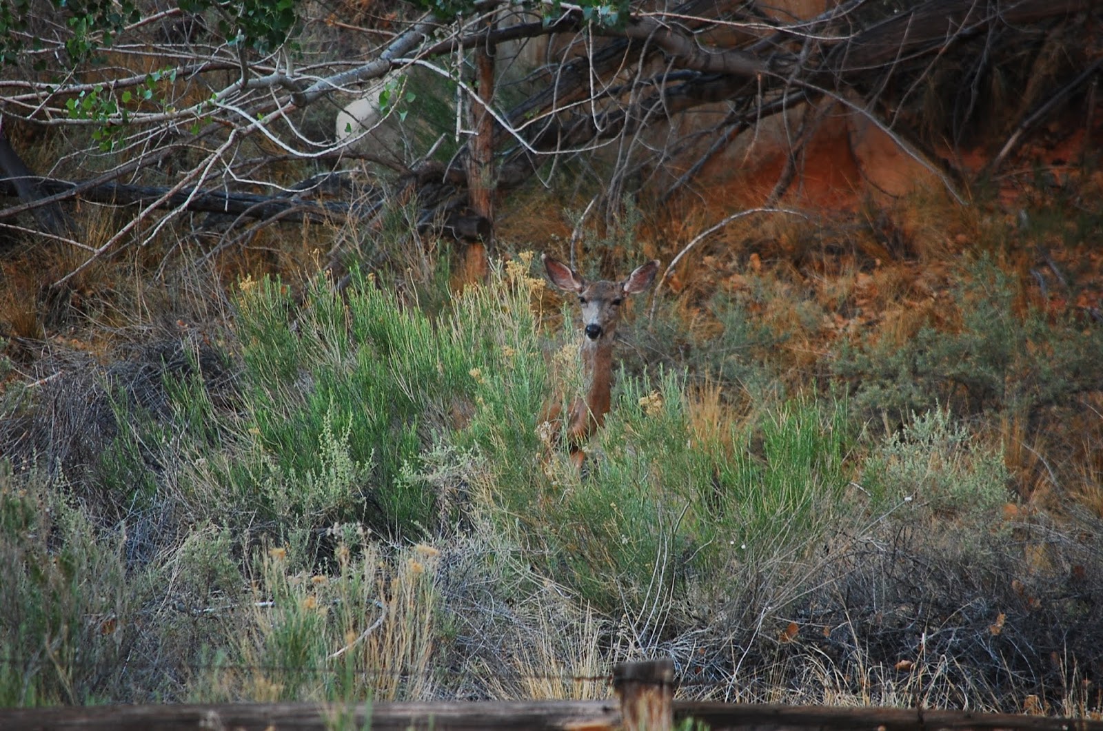
We also saw some of the local Fauna, a deer and a honey bee.

Finally, we visited the Fruita school house. Fruita was a Mormon outpost. The Fremont River (think always flowing creek) provided plentiful water to irrigate large number of fruit orchards. There may have been up to 14 Mormon families here at any given time. The school was the only public building in Fruita. It served as the school, obviously, but also as the church, community center, etc.
The following is a photo of the school.


This is all for June 19th. I'll add more post when I get good WiFi reception.
No comments:
Post a Comment